Product on sale
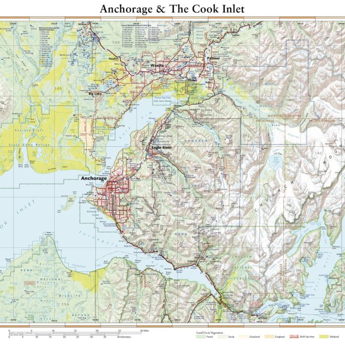
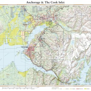
Anchorage & The Cook Inlet Online
20 people are viewing this right now
16 products sold in last 18 hours
Selling fast! Over 20 people have this in their carts
- Estimated Delivery : Up to 4 business days
- Free Shipping & Returns : On all orders over $200
This wall map details the terrain in Alaska’s most populated area. Coverage includes Anchorage, Palmer, Wasilla, the Knik & Turnagain Arms of Cook Inlet, peaks and glaciers of the Chugach Mountains, the fjords of Port Wells and the western reaches of Prince William Sound.
This map is rolled and shipped in a sturdy cardboard tube.
| Size | 48×36, 56×42, 64×48, 75×56 |
|---|---|
| Material | Paper, Laminated, Laminated with Hanging Rails |
